Hurricanes Polo and Odalys may send 4- to 7-foot surf to SoCal's south-facing beaches Sunday to Tuesday. Coastal flooding is a concern.
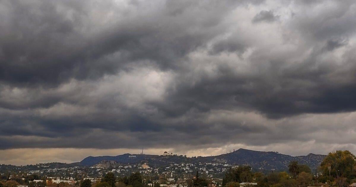
Let's call the science straight. Two hurricanes off Mexico are about to make themselves felt on Southern California's beaches, City News Service reports via The Eastsider, citing the National Weather Service. Swells from Hurricane Polo are expected to arrive late Sunday, and Hurricane Odalys, churning off central Mexico, will add southerly swell through the middle of next week. Surf on south-facing beaches could reach 4 to 7 feet at times Sunday through Tuesday, though forecasters say heights could vary by about 2 feet because the storms' tracks are uncertain. The bigger worry is the water level. High tides are expected to peak Monday and Tuesday around 7 feet, nearly a foot above normal astronomical tides because of the ongoing effects of El Nino. "There is a significant concern for Coastal Flooding over vulnerable south-facing beaches as a result, but the magnitude is still uncertain," the weather service said. Avalon, Long Beach and Malibu are the areas of greatest concern, and Avalon may be especially exposed because Polo's swell should arrive from a more southeasterly angle than Hurricane Marie's did earlier this month. The NWS calls impacts similar to Marie's a reasonable worst case and says the most likely outcome is less severe. Models are struggling with Odalys because the two storms sit close together, so expect this forecast to change. Here's your list: check the latest NWS forecast before Sunday night, don't park in low beach lots around the Monday and Tuesday high tides, stay off jetties and seawalls when big sets roll in, swim only near a lifeguard, and never drive through water on a coastal road. A hurricane doesn't have to make landfall to reach your beach. The ocean delivers its mail from a long way off.
Read the original article ↗JOIN THE PORCH SQUARE
Pull up a chair. Be the first to sound off.